About AirportMap
AirportMap uses the mapping capabilities of the iPhone/iPod Touch to display the air facilities in the United States. The app uses FAA data to display airports, heliports, glider fields, ultralight airfields, seaplane...
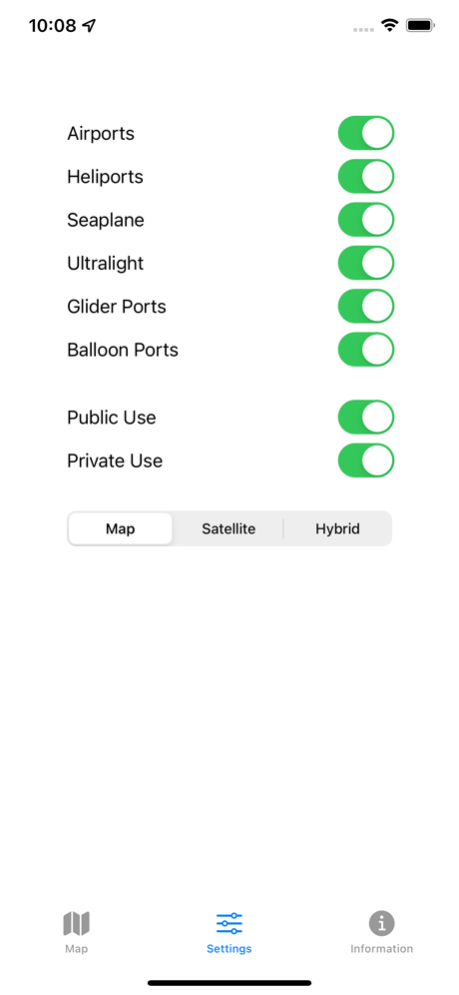
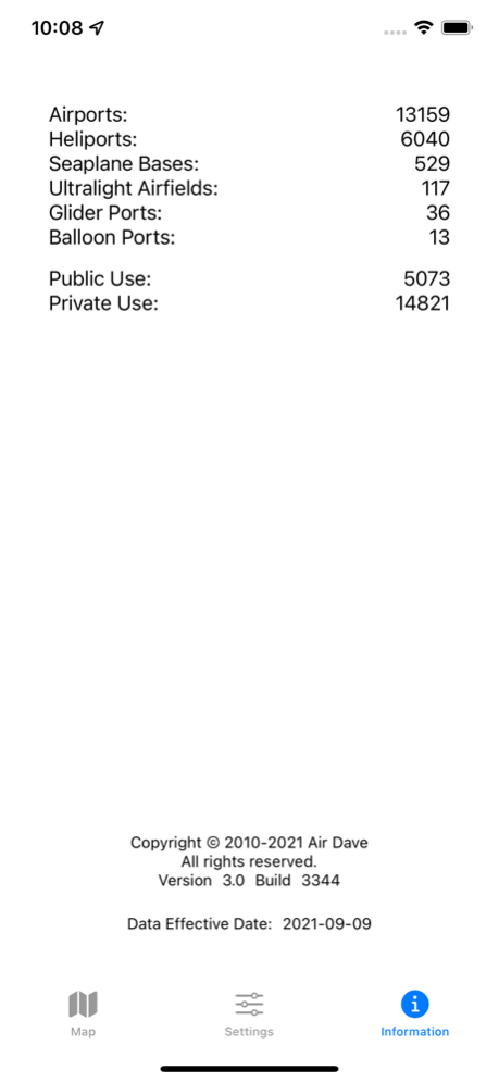
AirportMap uses the mapping capabilities of the iPhone/iPod Touch to display the air facilities in the United States. The app uses FAA data to display airports, heliports, glider fields, ultralight airfields, seaplane bases, and even balloon ports.
AirportMap is focused around one task: Given a location, help the user identify the airports in the vicinity. Whether visiting an old friend or national landmark, this app will aid pilots in determining their choice of landing field.
Sep 25, 2021
Version 3.0
All new version. The code is new but the functionality is the same, just updated.
Previous Versions
Here you can find the changelog of AirportMap since it was posted on our website on 2023-09-07 08:49:30.
The latest version is 3.0 and it was updated on 2024-04-22 20:16:08. See below the changes in each version.
AirportMap version 3.0
Updated At: 2021-09-25
Changes: Sep 25, 2021
Version 3.0
All new version. The code is new but the functionality is the same, just updated.
Disclaimer
Official App Store Link
We do not host AirportMap on our servers. We did not scan it for viruses, adware, spyware or other type of malware. This app is hosted by Apple and passed their terms and conditions to be listed there. We recommend caution when installing it.
The App Store link for AirportMap is provided to you by apps112.com without any warranties, representations or guarantees of any kind, so access it at your own risk.
If you have questions regarding this particular app contact the publisher directly. For questions about the functionalities of apps112.com contact us.